Sourcewater Pro™
Essential, exclusive geospatial intelligence for the oilfield water professional.
The most complete, current, accurate mapping of oilfield water activity and infrastructure.
No other source provides end-to-end oilfield water intelligence like Sourcenergy. If you have any responsibility for planning, procuring, managing or selling oilfield water services or facilities, Sourcewater Pro™ is the definitive platform, the standard across the industry.
- Sourcewater Pro™ is the only energy data platform that shows frac water ponds and reserve pits across the Permian, updating weekly from proprietary satellite imagery analytics;
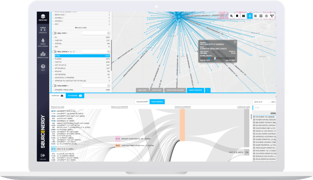
- Maps the monthly flows of produced water from every producing lease in Texas and North Dakota to every commercial SWD lease at the individual asset-to-asset and aggregated company-to-company level; maps nearly 10,000 miles (and counting) of private water midstream pipelines unavailable from regulatory sources;
- Alerts you to legal notices of new disposal and injection drilling plans weeks to months before the first permits are filed. We even have exclusive ask prices for water and disposal capacity for over one thousand facilities listed on our online water marketplace.

Top Use Cases for Sourcewater Pro™
E&P Water Managers, Completions & Supply Chain
For many onshore oil wells, produced water management is the single largest lease operating expense. Water is also one of the most controllable operating costs, through Dynamic Water Planning.
For most leases, water planning decisions were made when the lease was first developed. But long after initial production, new water pipelines with free capacity are laid nearby. Older disposals pressure up, causing higher prices, less capacity and induced seismicity risk. Newer, closer disposals appear with better access, more capacity and lower pricing. Other operators build new water infrastructure nearby that they would rent or sell below cost.
Every day, other operators are planning new fracs for which they might buy your excess produced water, groundwater and disposal capacity, turning your water cost center into a profit center while boosting your ESG metrics.
Reduce Water Disposal Costs
Analyze and reduce water management cost lease-by-lease with the most current, complete pipeline and facility maps including analytics on competitor market shares and capacity utilizations. Leverage the best procurement deals with every vendor SWD. See where you can lose less revenue from excess skim oil.
Ensure the Water Supply Chain
Continuously identify every possible water source near you, and save on options for recycled water, excess water and existing pits.
Commercialize Your Excess Capacity
Spot opportunities to sell excess water, storage, pipeline and disposal capacity to other operators when and where you choose.
Benchmark ESG and cost performance
Analyze the cost, efficiency and impact of your water management performance compared to others in your peer group through ranked metrics of water transport distance, water consumption intensity and water recycling ratios.

Water Midstream, Disposal, Recycling & Water OFS
Win More Water from E&Ps
See exactly where operators are sending too much produced water further than your facilities to your competitors and see exactly how much business each operator and operator lease does with each of your competitors and competitors’ facilities every month. Make operators an offer to take or treat their water and save them money at the same time.
Watch Your Competitors
See where your competitors and customers are planning new disposals, building new water impoundments and laying pipelines before any other source, and get instant, automated alerts for their every move.
Grab Dedications
See which producing leases are shipping water by truck and might be available for a win-win dedication deal.
Analyze Water Supply & Demand
The SWD business is a lot harder than the oil business, because unlike for an oil well, if you build a new SWD in the wrong spot, the capacity cannot be sold at any price. Identify and underwrite the best locations to buy or build new infrastructure and avoid bad deals you’ll regret.
Monitor Your Dedications for Leaks
When you buy or build-out an expensive pipeline network on an acreage dedication, you’re supposed to get all the water from that lease. That’s not always what happens. Our system can alert you when your dedication leaks.
Identify SWDs, Ponds & Pits that Need Your Services First
If you build, service or clean disposals, frac ponds or reserve pits, there is no better way to see which ones would respond best to a pitch for your services.
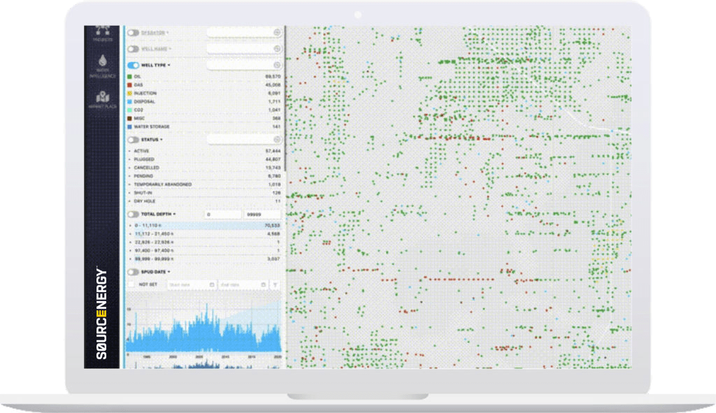
| Sourcewater Pro™ includes all of the standard oil and gas, disposal and injection, groundwater and surface data and GIS tools included in Sourcenergy GIS™, plus the exclusive data sets below: | |
|---|---|
| Satellite Frac Ponds & Reserve Pits | Permian (TX, NM) |
| Produced Water Flow Charts between Producers & Disposers | TX, ND |
| Produced Water Spider Maps (Volume, Source & Destination for All Producing Leases & Commercial SWDs) | TX, ND |
| Private Water Midstream Pipelines: Over 9,000 Miles Mapped | USA |
| Water & Disposal Market Prices | USA |
Request a free demo
Talk
Call us to learn how we can help you with your upstream energy and water intelligence needs