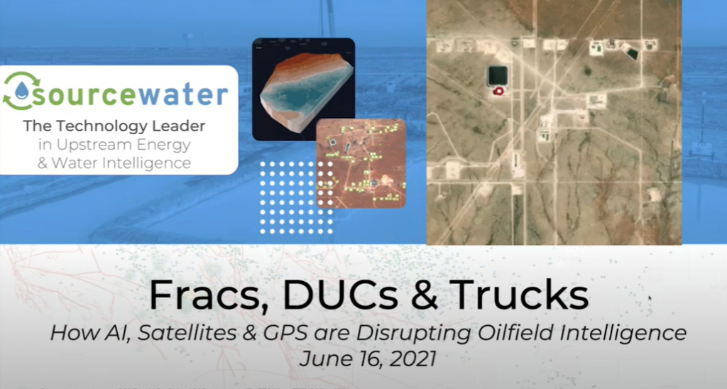
Join Sourcewater and Hart Energy for the launch of FracScape™, a new geospatial intelligence platform that analyzes satellite imagery, mobile GPS and regulatory big data to pinpoint every Permian frac crew and rig crew, every day. See drilling, completions and production before they even start, months earlier and with greater accuracy than regulatory filings and earnings reports. See private operator rig movements, frac spreads and other supply chain activities that are never reported, down to individual truckloads of sand, water and crude.
During this webinar we:
1. Explore the capabilities and limitations of cutting-edge geospatial remote sensing methods such as satellite imagery analysis and mobile phone GPS tracking.
2. Explain how new tools for artificial intelligence and machine learning enable near real-time gathering, processing and mapping of hundreds of millions of data points daily.
3. Highlight the benefits of the these new technologies for E&P, OFS, and energy investment companies.
— E&Ps: Avoid frac hits; save on crew costs; benchmark supplier and competitor performance
— OFS: Hunt DUCs; win more bids; improve performance
— Investors: See well inventory and cycle times ahead of earnings; analyze true market shares and performance; predict commodity supply and demand
For more information on FracScapeTM please contact [email protected] or request a complimentary demo.